Poland uses a colour-stripe system for trail marking that has been in place, with minor refinements, since the interwar period. The system is administered by PTTK and applied consistently across national parks, forest districts, and local authority land — meaning the same conventions hold whether you're on a ridge in the Tatras or a footpath through the Białowieża Forest. Once you understand the five colours and the marker format, navigation becomes significantly more reliable.
The five trail colours and their conventions
| Colour | Typical use | Character |
|---|---|---|
| Red | Main long-distance ridge routes and principal inter-regional connections | Usually the longest, highest-altitude option in a given area |
| Blue | Secondary routes connecting valleys to ridges, or settlements to main routes | Often the most direct ascent line; can be steep |
| Green | Forest traverses, valley-floor routes, educational trails | Frequently flat or gently rolling; longer in distance |
| Yellow | Short connecting paths, access routes to viewpoints | Typically the shortest marked option in an area |
| Black | Variant routes, historical paths, winter-specific routes | Less frequently maintained; may close seasonally |
These colour roles are conventions rather than rigid rules. In practice, a green trail in the Bieszczady might climb 600 metres because the terrain leaves no flat option. The colour indicates the route's relative position in the local network — primary, secondary, connector — rather than its absolute difficulty. Cross-referencing with the trailhead signboard's time estimates gives a clearer picture.
Physical marker format
Polish trail markers follow a three-stripe format: a white stripe on top, the trail colour in the middle, and a white stripe on the bottom. This horizontal band is painted directly onto rock faces, tree trunks, wooden posts, and occasionally stone cairns. The white borders serve a function — they make the coloured centre band visible from a distance and distinguish it from natural discolouration or other paint marks.
At intersections, directional signs carry arrows and destination names with time estimates in hours and minutes. These signs are typically metal, mounted on wooden posts, and colour-coded to match the trail they refer to. Where two or more routes share the same path segment, multiple colour bands appear side by side on the same marker.
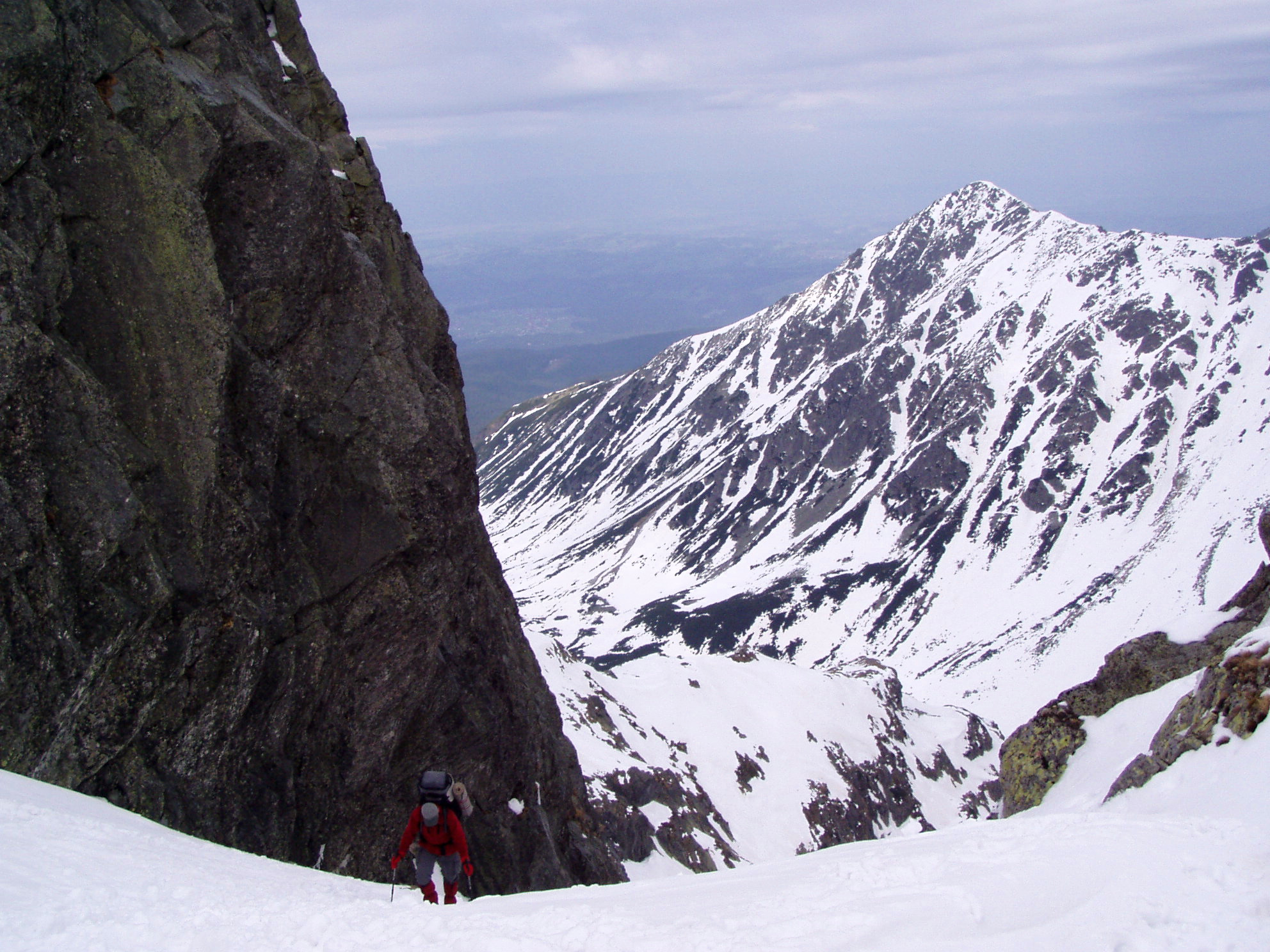
Marker frequency varies significantly by area. In the High Tatras, markers appear every 50–150 metres on exposed terrain. In the lowland forests of Mazury or the Roztocze plateau, spacing can extend to 300–500 metres because the route is obvious and there are few decision points. If you haven't seen a marker in what feels like too long, the standard practice is to stop and check your last confirmed position before continuing.
Reading markers in poor conditions
Fog and snow are the two conditions where marker visibility drops most significantly. In fog, the effective visibility of a painted marker on rock drops to roughly 5–8 metres. On snowpack, markers on tree trunks can be buried to a height of 1–2 metres in January or February in the Tatras or Beskidy. A few practices help:
- In fog, reduce your walking pace and watch for the white borders of the marker rather than the colour centre — white is more visible in grey conditions.
- In winter, watch for marker posts above the snowline rather than tree-level markers, and pay attention to the direction of packed trail visible in the snow surface.
- When a trail follows a ridge in cloud, staying on the high point of the ridge rather than drifting to either side usually keeps you on route.
- Cairns supplement painted markers on rock terrain above the treeline. They are not an official PTTK installation but are maintained informally by walkers and are generally reliable in summer.
Route numbers and the E3 European Long Distance Path
Poland participates in the European Ramblers' Association network of long-distance paths. The E3 route crosses Poland from west to east — from the German border at Zgorzelec to the Slovak border via the Tatras — and is waymarked in Poland using standard red stripe markers with an additional E3 symbol at key junctions. It does not have its own dedicated colour; the red colour is the primary navigation tool.
Similarly, the Main Beskid Trail (Główny Szlak Beskidzki, GSB) runs approximately 500 kilometres from Ustroń to Wołosate in the Bieszczady and is marked entirely in red. It is the longest continuously marked trail in Poland and passes through five mountain ranges. The GSB has its own PTTK guidebook series updated roughly every three years.
National park waymarking variations
Tatra National Park (TPN) applies the standard PTTK colour system but with one addition: black-and-yellow striped markers on routes that are either closed or restricted to guided groups only. These appear on terrain that requires equipment or skills beyond what most recreational walkers carry. Encounters with these markers should be taken as a firm boundary rather than a suggestion.
Karkonosze National Park, in the western Sudety, uses Czech-Polish joint signage on border trails — Czech trail markers use a slightly different format with a narrower colour band and sometimes an inverted triangle symbol. The difference is small but worth knowing when crossing the ridge from the Polish side.
Białowieża National Park operates strict entry controls on the strictly protected zone. The marked footpaths around the perimeter are fully waymarked, but the interior is accessible only with an authorised guide. Markers in the buffer zone follow the standard system.
Maintenance and reporting problems
PTTK regional sections are responsible for maintaining the markers on their designated routes. Condition varies — some sections are repainted annually, others less frequently. Faded, missing, or confusingly placed markers can be reported via the PTTK regional contact pages. In national parks, the park authority handles maintenance independently.
Related reading: Trail difficulty classifications in Poland and Trekking equipment for Polish mountains.